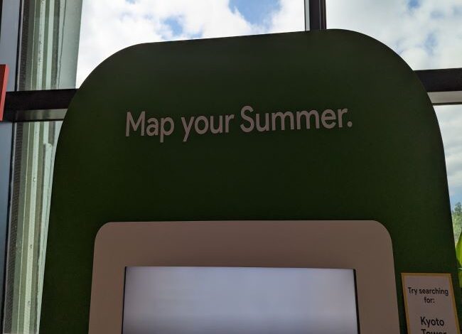
Google is rolling out a host of updates to its Maps platform to help users make the best of their summer plans.
The brand’s Immersive View feature, which was first showcased at its Google I/O developer conference keynote in May is expanding as of June 14 and is rolling out to new cities and 500 landmarks across the world for Android and iOS.
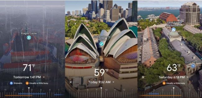
To access Immersive View, you can tap the preview in Google Maps and it will populate the live vantage of popular destinations, such as Faneuil Hall and the Roman Forum. The feature can also tell offer details, such as current and upcoming weather and how busy locations will be at different times of the day.
In addition to already available locations, including London, Los Angeles, New York, San Francisco, and Tokyo users in New Amsterdam, Dublin, Florence, and Venice can now also access Immersive View. It is also compatible with hundreds of tourist destinations, such as Prague Castle and Sydney Harbour Bridge.
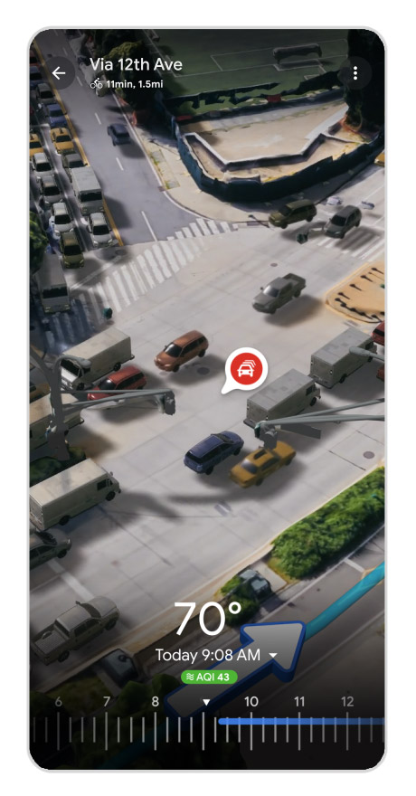
Also showcased at Google I/O was Immersive View for routes, which gives a real-time look at roads, sidewalks, and bike lanes so bikers can have a better idea of what to expect when they are out and about. This feature similarly includes intuitive aspects such as traffic and weather updates to help you determine the best time for a bike ride.
Immersive View for routes will be available later this summer in 15 cities for Android and iOS.
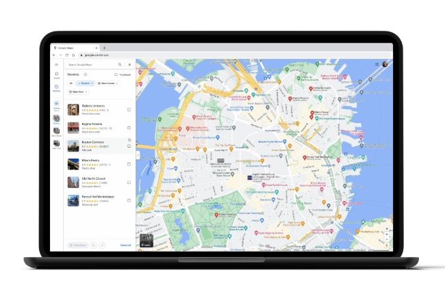
Another update to Google Maps includes new functions to the Recents feature. The primary function of Recents automatically saves two or more places in the same city when you are researching travel plans. This way you can refer back and you can find everything that you’ve previously searched for your trip. The new updates now make the Recents feature easier to stay organized.
- You can now save multiple details of your trips in one place. Many people rarely plan a vacation in one setting, often looking at hotels, restaurants, and attractions in different searches and coming back. This feature ensures all of your prior searches show up when you return to Recents.
- You can save places across multiple tab sessions on maps without losing information and having to start your search again from scratch.
- You can easily remove places from your Recents. If you’ve done a lot of research, you can clear out the places that are no longer a fit for your travel plans in order to stay more organized.
- You can plan a road trip that includes several locations you want to visit in between your starting destination and your ending destination. Say you’re traveling between New York and Boston and want to visit several pizza restaurants during your road trip. You can use Recents to research the restaurants and then plot out a route for your road trip. All of the information will save to Recents for you to refer back to later and you can create a shared list that you can send to your travel partners.
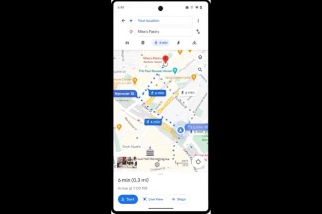
Finally, Google discussed its Glanceable Directions feature, which is an extension of Immersive View for routes and allows you to track your trip progress from your smartphone lock screen or from smartwatch your route overview. You only need to start walking and you can get updated ETA, and turn guidance as needed. The feature will roll out globally on Android and iOS for cycling, walking, and transit directions later this year.

